Orthomosaics, DSMs, Point Clouds: What a Drone Mapping Client Is Actually Buying
Drone mapping quotes are full of words that sound interchangeable and are not. An orthomosaic and a nice aerial photo look similar on a laptop screen; one of them you can measure from, the other you cannot. A client who orders the wrong deliverable pays twice: once for the flight, and again when the engineer says the output is unusable for the actual task.
We listed where mapping fits in the broader market in commercial drone applications. This is the buyer’s glossary: what each product is, what question it answers, and what to check before you sign.
Orthomosaic: the measurable map
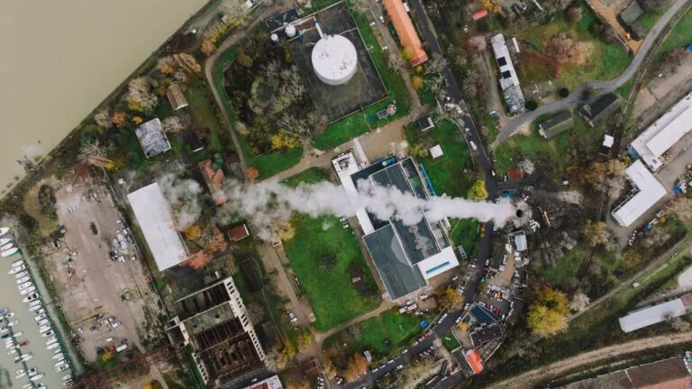
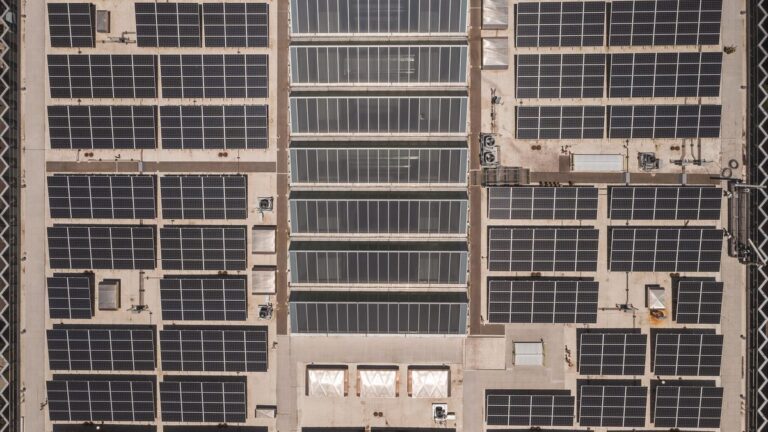
Hundreds of overlapping photos, geometrically corrected and stitched into a single top-down image where scale is uniform. That correction is the whole point: on an orthomosaic you can measure distances and areas reliably, which you cannot do on a raw aerial photograph, however sharp.
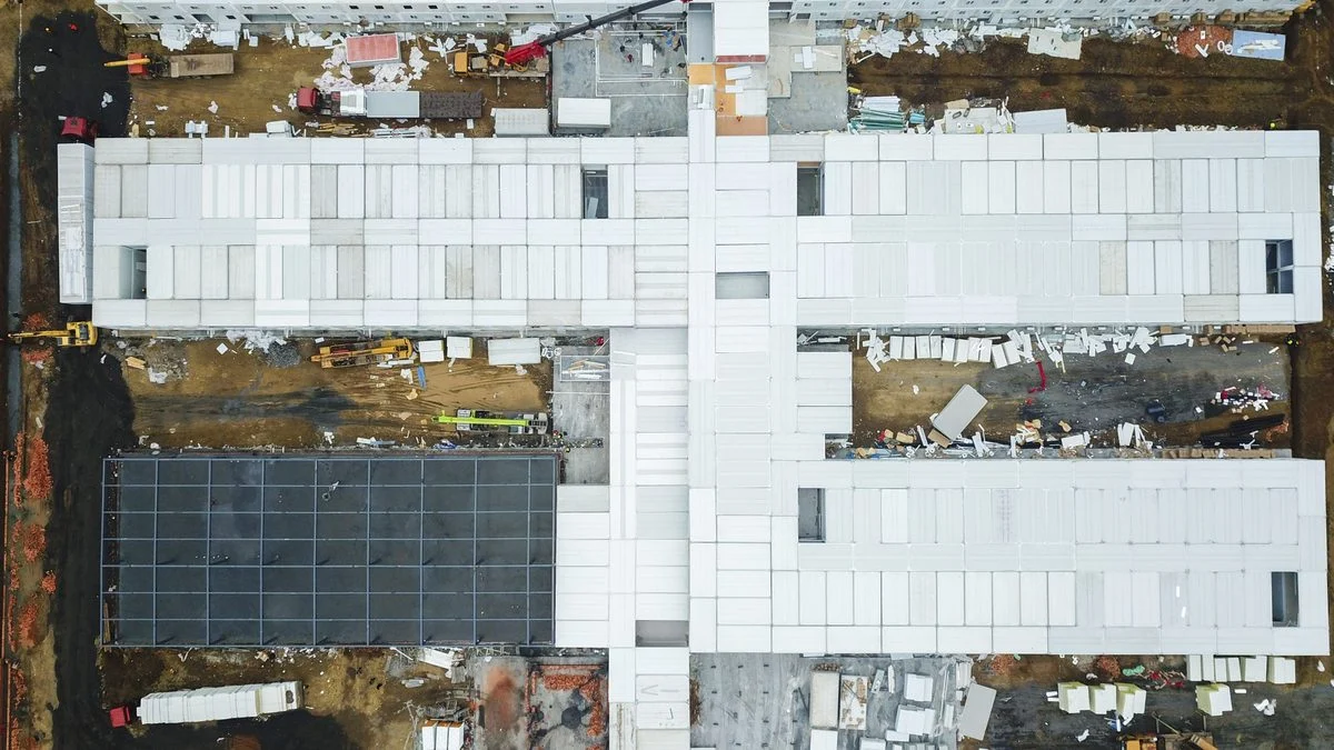
What it answers: what exists on this site today, where, and how big. Site plans, progress documentation, asset registers, land use disputes. For a construction site, a monthly orthomosaic is a dated, measurable, archived statement of fact, which is worth remembering the first time a claim discussion starts.
DSM and DTM: the two elevation models
Both are elevation maps, and mixing them up causes real errors. A Digital Surface Model (DSM) includes everything: buildings, trees, stockpiles, the crane. A Digital Terrain Model (DTM) strips those away to bare ground.
Volume calculations, the bread and butter of quarries and earthworks, need the right one at the right moment. Stockpile volumes come from surface data against a base; cut-and-fill design work needs terrain. If your provider cannot explain which model your numbers came from, treat the numbers with suspicion.
What they answer: how much material is in that pile, how much earth must move, where water will flow, what the site’s true levels are.
Point cloud: the raw geometry
Millions of individually positioned points in 3D, each with coordinates and colour. Not a picture: a measurable spatial dataset that engineering software can section, slice and compare. Two point clouds a month apart give you exactly what changed, in three dimensions, to centimetre level.
What it answers: detailed geometry questions. Facade dimensions, structure verification, as-built versus design comparison, clearance checks. It is also the heaviest deliverable; there is no reason to order one for a task an orthomosaic solves.
3D model: geometry made presentable
A textured mesh built from the point cloud: the photorealistic model you can orbit on screen. Engineers mostly work in the cloud and the elevation models; the mesh earns its keep in communication: planning presentations, marketing, stakeholder walkthroughs, documentation of a building’s condition at a moment in time.
The questions that separate providers
Accuracy is the honest differentiator, and it hides in method, not in drone brochures.
- Ground control or RTK? Survey-grade absolute accuracy needs ground control points measured with survey equipment, or an RTK/PPK-equipped aircraft, usually both for critical work. “GPS accuracy” without either means metres, not centimetres.
- What accuracy, stated how? A serious provider quotes expected accuracy in centimetres, distinguishes horizontal from vertical, and will put it in the report.
- What resolution? Ground sampling distance, in cm per pixel, determines what you can see and measure. Two centimetres per pixel is a different product from ten.
- Who flies, under what authorisation? Mapping regularly involves altitudes, overflight and locations that touch the Specific category rules we explained. Certification is not paperwork; it is whether the flight was legal and insured.
Matching deliverable to task
The short version: measure and document, orthomosaic. Volumes and levels, DSM/DTM. Engineering geometry and change detection, point cloud. Persuasion, 3D model. Most real jobs bundle two or three, and a provider who asks what decision you are trying to make before quoting is a provider who has done this before.
We fly mapping missions under EASA rules and deliver engineer-ready outputs as part of our drone services, and we are happy to be interrogated with every question on this list.
Frequently Asked Questions
What is the difference between an orthomosaic and an aerial photo?
An orthomosaic is geometrically corrected so scale is uniform across the image, making it measurable like a map. An aerial photo, however sharp, has perspective distortion and cannot be measured reliably.
DSM versus DTM: which do I need?
DSM includes objects such as buildings, vegetation and stockpiles; DTM is bare ground. Stockpile volumes use surface data; earthworks design and drainage need terrain. Serious volume reports state which model was used.
How accurate is drone mapping?
With ground control points or RTK positioning, centimetre-level accuracy is achievable. Without them, expect metre-level absolute accuracy. Ask providers to state expected accuracy, horizontal and vertical, in writing.
Editorial note: This article was researched and drafted with the assistance of Claude (Anthropic), and reviewed and approved by Amazing Projects before publication.