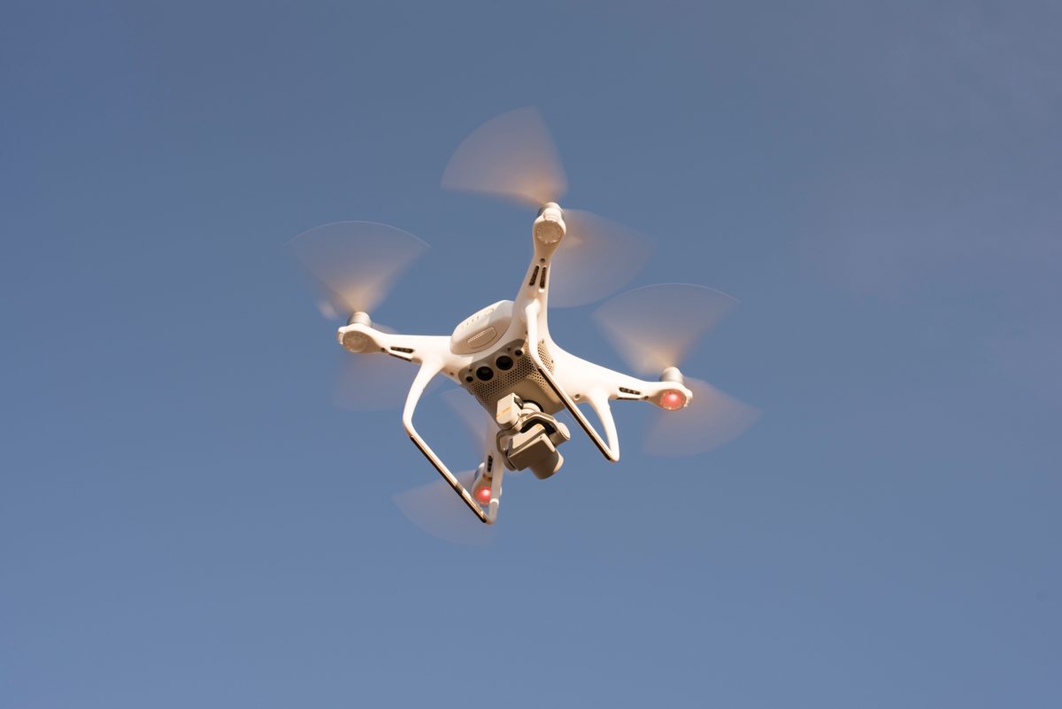
Drones in Today’s World: Commercial Applications and Real-World Uses
Drones have quietly crossed the line from novelty to working infrastructure. The global drone market reached roughly $63 billion in 2026 and is growing at about 12% a year, on its way to more than double that by the early 2030s. But the headline number is the least interesting part of the story.
The real shift is from hardware to service. Industry analysts now put services — inspection contracts, drone-as-a-service platforms, data subscriptions — at around 78% of the civil drone market, with hardware a shrinking minority. More than half of new commercial deployments already use some form of AI or autonomy. In other words, a drone is no longer the point. It is a flying sensor, and the value is in the data it brings back.
So what are the commercial drone applications actually doing real work today — and what does it take to put them to use safely and legally? Here is the practical picture.
What drones actually do today
Inspection and maintenance. This is the workhorse use case. Power lines, wind turbines, solar farms, telecom towers, bridges, roofs and pipelines all need regular inspection — work that is slow, expensive and often dangerous when done by rope access or scaffolding. A drone does it in a fraction of the time, with no one off the ground. In Europe, drone-based infrastructure monitoring has been shown to improve defect-detection accuracy by around 25%.
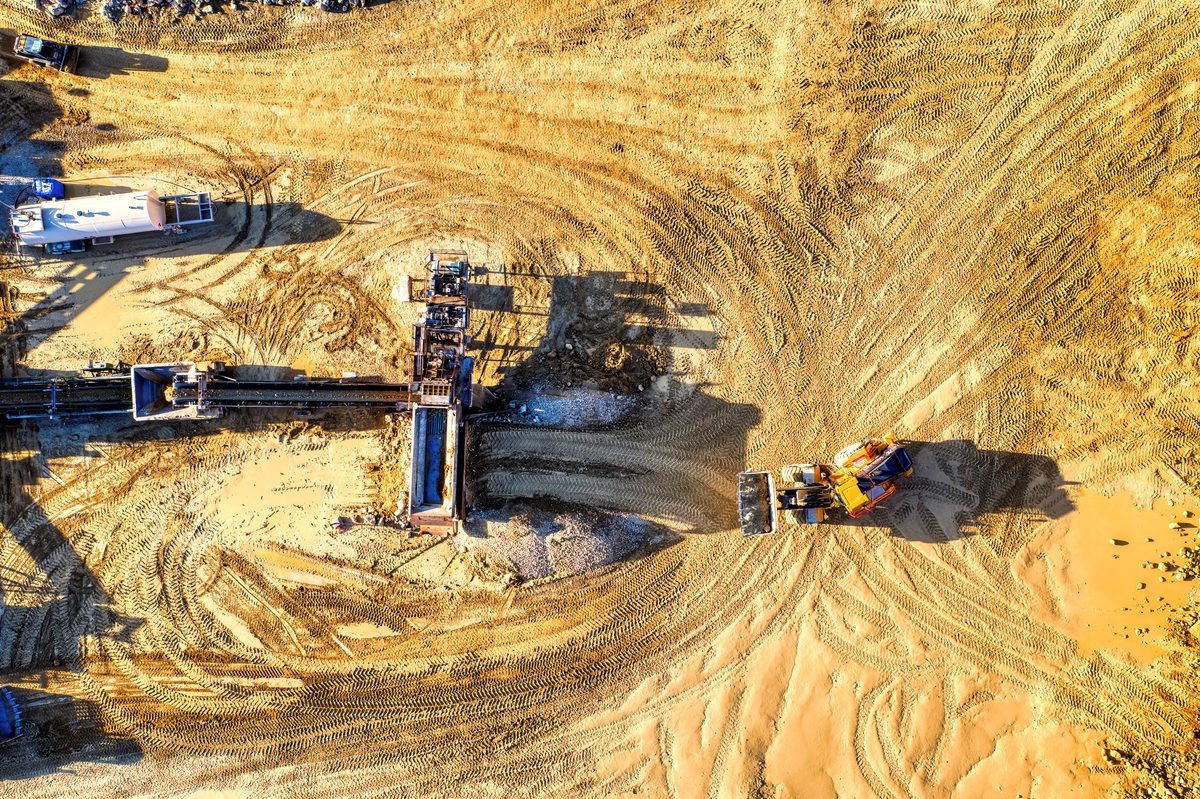
Mapping, surveying and digital twins. With photogrammetry and LiDAR, drones produce centimetre-accurate maps and 3D models — for land surveys, construction progress tracking, stockpile volumetrics and as-built digital twins. Construction is the single largest commercial vertical for drones in 2026, precisely because a weekly aerial survey replaces days of manual measurement.
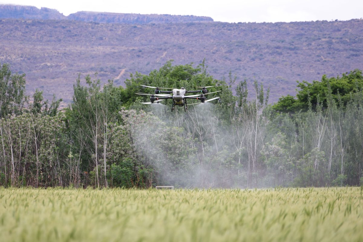
Precision agriculture. Multispectral imaging reveals crop health (via indices like NDVI) long before problems are visible from the ground, while spray drones apply water, fertiliser or treatment exactly where it is needed. It is the fastest-growing application segment in the market, expanding at roughly 10% a year.
Public safety and emergency response. Drones give incident teams a rapid aerial view when minutes matter — for search and rescue, disaster and damage assessment, and situational awareness over an unfolding event. A thermal camera overhead can cover ground that would take a team on foot hours to search.
Security and monitoring. Perimeter and site surveillance, event monitoring, and routine asset checks — particularly across large or hard-to-reach sites like ports, plants and solar fields.
Media, real estate and marketing. The original commercial use, and still one of the largest by revenue: aerial photography and film for property, tourism, events and brand work, at a fraction of the cost of a helicopter.
Delivery and logistics. Still the most regulation-gated category, but advancing — medical samples between sites, and last-mile retail delivery now expanding across markets. As beyond-visual-line-of-sight rules mature, this is the application with the most headroom left to grow.
It’s not the drone — it’s the data
Across all of these, the aircraft is the cheap, easy part. The value sits in the pipeline that turns pixels into a decision — a maintenance ticket, a survey deliverable, a treatment plan. That is why the drone-as-a-service market is expected to reach around $8 billion by the end of 2026 and keep climbing, and why analysts project demand for roughly three times as many data analysts as pilots by 2027. AI increasingly does the heavy lifting — detecting defects, counting assets, flagging change between flights — but someone still has to design the workflow that makes the output trustworthy and useful.
The rules: flying legally in the EU
In Europe, drone operations are governed by a single harmonised EASA framework (Regulation (EU) 2019/947). Crucially, it is risk-based, not a simple professional-versus-recreational split. Operations fall into three categories:
- Open (low risk). Subcategories A1, A2 and A3, with a 120 m height limit, visual line of sight, drones up to 25 kg and class marks C0–C4. Remote ID is required for most newer drones. No prior authorisation — just operator registration and the right pilot competency.
- Specific (medium risk). Where most serious commercial work lives — flying closer to people, in urban areas, or beyond visual line of sight. It requires either a declaration under a Standard Scenario (STS-01 for VLOS, STS-02 for BVLOS) or an operational authorisation based on a SORA risk assessment.
- Certified (high risk). Heavy cargo, flights over crowds, passenger-carrying — certified to a standard close to manned aviation.
In Greece, operators register with the Hellenic Civil Aviation Authority (HCAA), and that registration is recognised across every EASA member state. The penalties for getting it wrong are real — in Greece, fines run from €1,000 to €50,000 — and around 40% of operators report struggling with compliance. That is exactly where many promising drone initiatives quietly stall: not on the technology, but on the regulatory and data groundwork around it. Insurance and GDPR-compliant handling of any imagery captured belong on the same checklist.
Getting value from drones
The organisations that get a return treat drones as a programme, not a gadget. A few principles make the difference:
- Start from the decision you need to make, then the data that informs it, then the drone — never the other way round.
- Settle the regulatory category early. Whether a mission is Open or Specific changes the timeline, the cost and the paperwork dramatically.
- Budget for processing and analysis, not just flight time — that is where the value (and most of the effort) actually sits.
- Cover the unglamorous basics: insurance, privacy, safety procedures and data handling, from day one.
None of that is exotic. It is the same disciplined delivery that separates a successful initiative from an expensive experiment — applied to the sky.
How Amazing Projects can help
We provide drone programme consulting — from choosing the right use case and aircraft to navigating the Specific category (STS and SORA) and turning flights into data your business can actually use. Our expertise spans the EASA Open subcategories (A1, A2 and A3) and the STS-01 and STS-02 standard scenarios, so we can tell you quickly what is flyable, compliant and worth doing in Greece and across the EU.